Retail Location Similarity
Find retail locations similar to your best-performing stores
Retail Location Similarity is a map tool for comparing locations using H3 feature vectors and Leo’s calibrated distance score.
Open demo · Project website · Documentation · GitHub
What it does
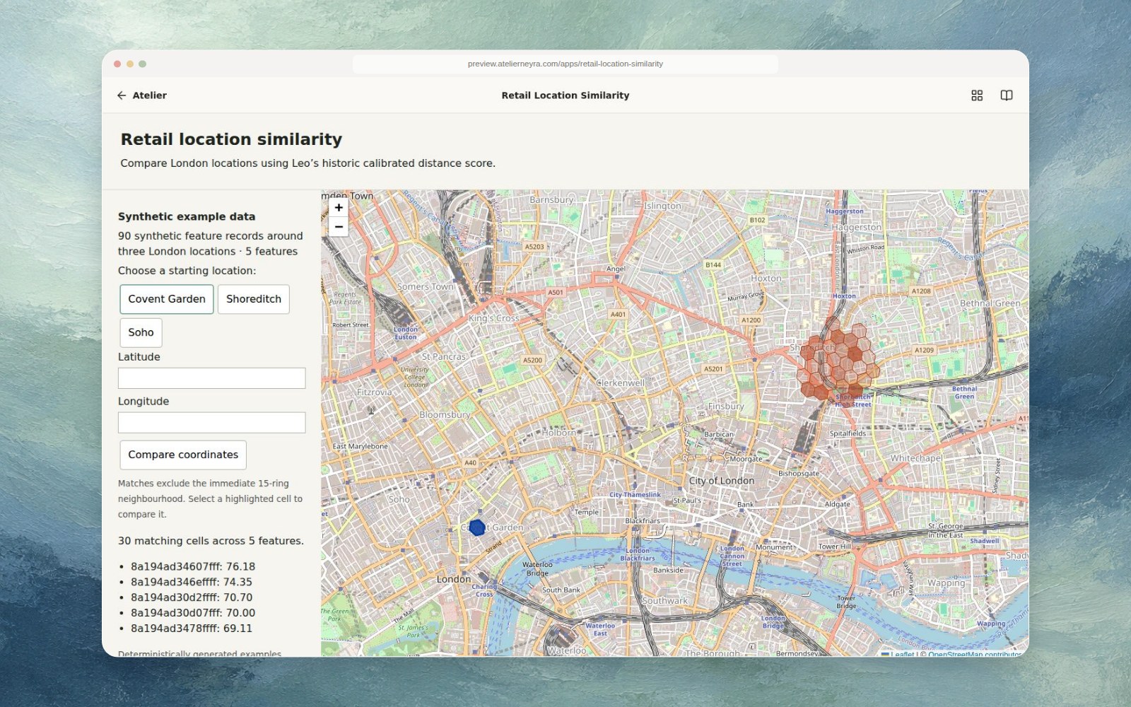
Choose an example reference location or enter coordinates within the sample cells. The app normalizes numeric feature dimensions, computes similarity, excludes the nearby 15-ring H3 neighbourhood, and maps ranked matches. The bundled dataset contains 90 generated records and five synthetic features. Scores are actual calculations on those values; they do not describe real London locations.
Run
Requires Python 3.10 or newer.
git clone https://github.com/latintzar/retail-location-similarity.git
cd retail-location-similarity
python3 -m venv .venv
. .venv/bin/activate
pip install -r requirements.txt
python server.py
Open http://127.0.0.1:18869. The map uses OpenStreetMap tiles. The synthetic scorer needs no account or provider credentials.
Status and source
The independent scorer preserves Leo’s historical calibrated distance approximation inspired by DIEM; it is not the authors’ published reference implementation. A separate historical London matrix was privately verified at 131,596 H3 cells and 1,956 numeric features; it is not included. Completion of a global matrix has not been verified. The recovered agent’s tools and ETL source contain the broader original work. Original code is MIT licensed; dependencies and map data retain their own terms.
Agent instructions
Keep synthetic examples labelled and preserve the distinction between observed geographic data and generated features. Review data provenance and applicable third-party terms before substituting a real dataset. Run python server.py and exercise a preset after changes.